Recon9
Developer
Dev Team
Dev Leads
Los Santos Police Command
Los Santos NHS
Los Santos Police Trainer
Los Santos NHS Training
Los Santos Senior Firefighter
- Location
- Los Santos
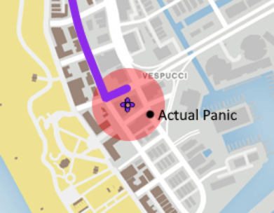
So did I, i think you didn't read my fully reply. All im saying is it doesnt make sense that if the gps is inaccurate it would still no the street name.Cars, radios etc all have trackers however these can vary in accuracy depending on location for example you may be in the countyside and the GPS can be miles off.
One of my old colleagues was point to pointed by the control room and they asked him if he was in the middle of the North Sea they are not always accurate!
I also mentioned in the post about a rough location or so
It should be a rough area not a streetname.